Idea
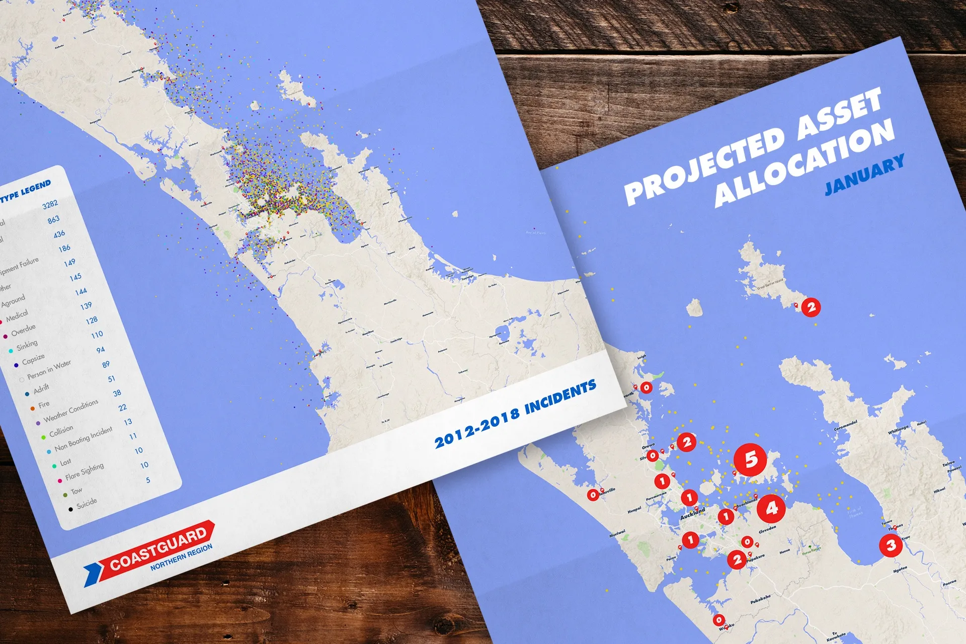
An AI analyses live boat journeys and sea conditions, and maps the projected boat locations, including details of any expected distress situations. The coastguard can then respond to these before they occur.
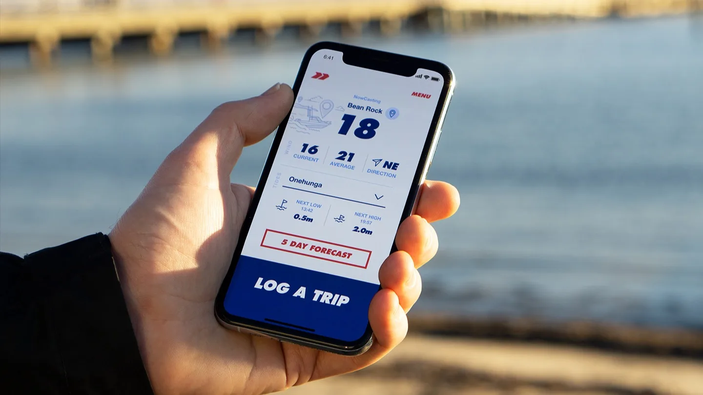
Boat users log their trips to an app before they set off, which then records their locations every 30 minutes. Machine learning is then used to analyse this data in conjunction with real-time weather and swell information and other metrics, to create a visual model of all current and future boat positions, including advance details of any anticipated emergencies.